Search Term Record
Metadata
Name |
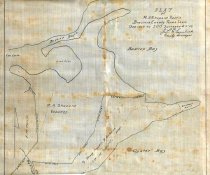
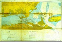
Christmas Bay |
Related Records
-
-
-
-

-
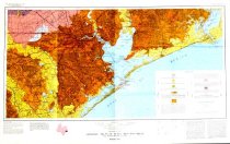
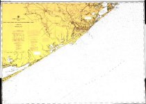
Map - 2008.010c.0019
Map - U. S. Coast Survey - Texas Coast - Jupiter to St. Luis pass
Record Type: Archive

-
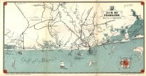
Map - 2009.003c.0001
Map - USCGS Nautical Chart 1283 - San Luis Pass East Matagorda Bay
Record Type: Archive
-
Map - 2009.013c.0013
Map - 1947 USGS 7.5-minute map - Christmas Point quadrangle
Record Type: Archive

-
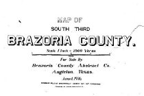
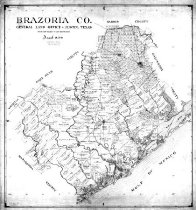
Map - 2010.014c.0001
Map - GLO 1947 of Brazoria County showing original grant boundaries
Record Type: Archive
-
-
-
-
Map - 2014.011c.0002
Map with sleeve Geologic Atlas of Texas, Houston Sheet Alexander Deussen Memorial Edition
Record Type: Archive