Search Term Record
Metadata
Name |
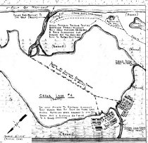
Cedar Lake Creek |
Related Records
-
Drawing, Architectural - 2014.015c.0003
Floor plan of a proposed diorama of Cedar Lake Salt Works
Record Type: Archive
-
-
-
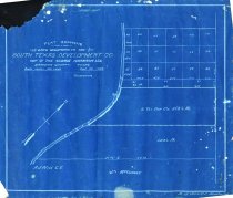
Map - 1988.070c.0140
Map - South Texas Development Co. lands in McClosky League
Record Type: Archive
-
Map - 1988.070c.0153
Map - Leagues between San Bernard River and Matagorda County Line
Record Type: Archive
-
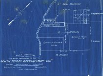
Map - 1988.070c.0202
Map - South Texas Development Co. tract in George Harrison League No 51 Abstract 73
Record Type: Archive
-
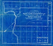
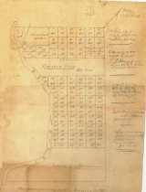
Map - 1988.070c.0213
Map - South Texas Development Co. Cremshaw Tract in the George Harrison League
Record Type: Archive
-
-
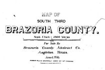
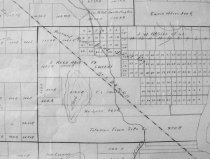
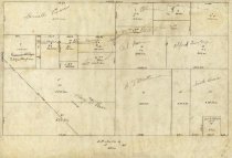
Map - 1988.070c.0229
Map - Subdivisions of the George Harrison League No 51 Abstract 73
Record Type: Archive
-
Map - 2008.034c.0003
Map - Major Texas Water Resources (Texas Water Development Board)
Record Type: Archive

-

-
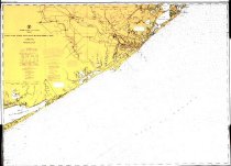
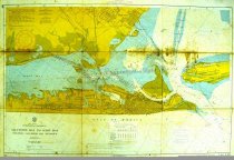
Map - 2009.003c.0001
Map - USCGS Nautical Chart 1283 - San Luis Pass East Matagorda Bay
Record Type: Archive
-
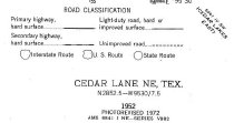
Map - 2009.026c.0010
Map - 1972 USGS 7.5-minute map - Cedar Lane NE, Texas quadrangle
Record Type: Archive
-
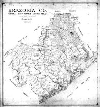
Map - 2010.014c.0001
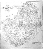
Map - GLO 1947 of Brazoria County showing original grant boundaries
Record Type: Archive
-

-
-