Search Term Record
Metadata
Name |
Quintana |
Related Records
-
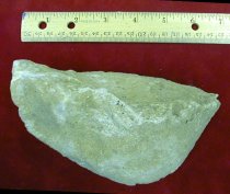
Bulkhead - 2005.013c.0001
Piece of cement from World War II Quintana gun emplacements
Record Type: Object
-
-
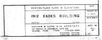
Drawing, Architectural - 2014.015c.0002
Eades Building - Sweeny - Existing Floor Plans and Elevations
Record Type: Archive
-
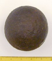
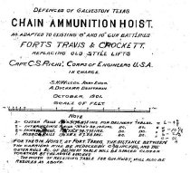
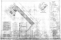
Drawing, Technical - 2009.002c.0001
Freeport Gun Emplacements - Chain Ammunition Hoist
Record Type: Archive
-
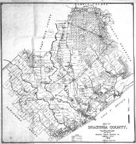
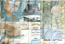
Map - 1983.068c.0001
Map of old Velasco (now Freeport) published as a promotion of area
Record Type: Archive

-
-
Map - 1988.070c.0088
Map - land formerly in Lake Jackson Plantation bounded by Buffalo Bayou, Brazos River, and Oyster Creek
Record Type: Archive
-
Map - 1989.008c.0001
Map of old Velasco (now Freeport) published as a promotion of area ("Freeport First and Only").
Record Type: Archive
-
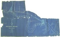
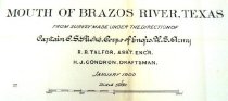
Map - 2001.020c.0002
Booklet and map - Report of Examination and Survey of Mouth of Brazos River Texas
Record Type: Archive
-
-
-
-
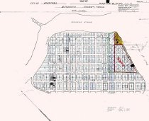
Map - 2008.037c.0001
Plat Map - Quintana (original plat) with overwrite indicating "PARK" and approximate locations of World War II gun mounts
Record Type: Archive
-
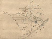
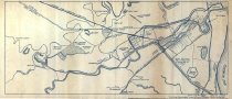
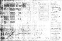
Map - 2009.002c.0006
Freeport Gun Emplacements - Temporary Harbor Fortification - Freeport Harbor
Record Type: Archive
-
Map - 2009.002c.0007
Freeport Gun Emplacements - Temporary Harbor Fortification - Freeport Harbor
Record Type: Archive
-
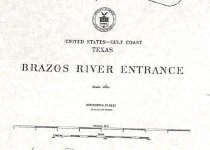
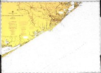
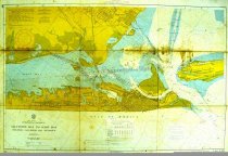
Map - 2009.003c.0001
Map - USCGS Nautical Chart 1283 - San Luis Pass East Matagorda Bay
Record Type: Archive
-
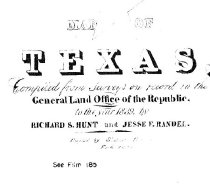
Map - 2009.017c.0001
Map - East half of Texas plus portions of Arkansas and Louisiana- 1839
Record Type: Archive
-
Map - 2010.001c.0005
Map - Austin colonies showing communities with interconnecting roads and trails.
Record Type: Archive

-
-