Search Term Record
Metadata
Name |
San Luis Pass |
Related Records
-
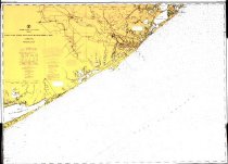
Map - 2009.003c.0001
Map - USCGS Nautical Chart 1283 - San Luis Pass East Matagorda Bay
Record Type: Archive
-
Map - 2009.013c.0013
Map - 1947 USGS 7.5-minute map - Christmas Point quadrangle
Record Type: Archive

-
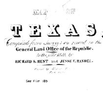
Map - 2009.017c.0001
Map - East half of Texas plus portions of Arkansas and Louisiana- 1839
Record Type: Archive
-
-
-
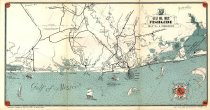
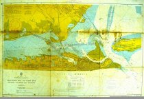
Map - 2010.019c.0003
Map - USCGS Nautical Chart 1282: Galveston Bay and Approaches (1948)
Record Type: Archive

-
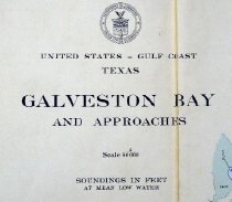
Map - 2010.019c.0004
Map - USCGS Nautical Chart 1282: Galveston Bay and Approaches (1957)
Record Type: Archive
-
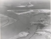
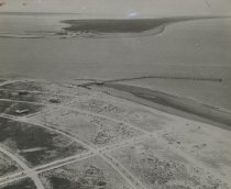
Print, Photographic - 2006.021p.0002
Aerial photo of San Luis Pass and bridge with land in foreground
Record Type: Photo
-
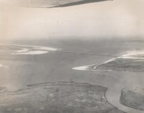
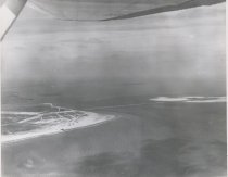
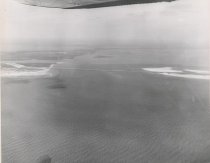
Print, Photographic - 2006.021p.0003
Aerial photo of San Luis Pass and bridge with water in foreground
Record Type: Photo
-
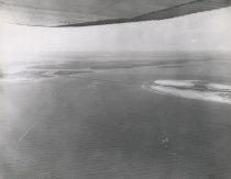
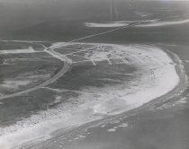
Print, Photographic - 2006.021p.0007
Aerial photo of San Luis Pass and Intercoastal Canal
Record Type: Photo
-
-
-
-
-
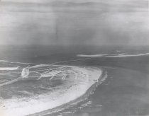
Print, Photographic - 2006.021p.0017
Aerial photo of the San Luis Pass bridge and pier
Record Type: Photo
-
-
-
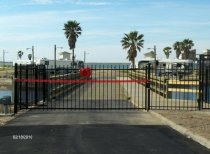
Print, Photographic - 2010.001p.0004
Opening speech for new bridge at the San Luis Pass on Feb. 18, 2010
Record Type: Photo

-
Print, Photographic - 2010.001p.0005
Interested audience listens to opening speech for San Luis bridge on Feb. 18, 2010.
Record Type: Photo

-