Skip to content

Search Term Record

Metadata

Related Records

  1. Map - 1984.020c.0002

    Map - Middle Third of Brazoria County

    Record Type: Archive

    1984.020c.0002  Title Block
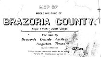
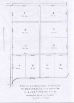
  2. Map - 1988.070c.0002

    Map - Subdivisions of Henry Austin League between Austin Bayou and Brushy Bayou

    Record Type: Archive

    Survey Map
  3. Map - 1988.070c.0041

    Map - W. C. Stockton Tract in the John W. Cloud Survey

    Record Type: Archive

    1988.070c.0041
  4. Map - 1988.070c.0074

    Map - D.L.Abraham Survey

    Record Type: Archive

    1988.070c.0074  Title Block
  5. Map - 1988.070c.0157

    Map - Ink Study for 1988.070c.0185 - A.J.Watts Survey

    Record Type: Archive

    1988.070c.0157  Entire Map
  6. Map - 1988.070c.0167

    Map - G. M. Henderson subdivision of Valderas

    Record Type: Archive

    1988.070c.0167  Entire Map
  7. Map - 1988.070c.0185

    Map - A.J.Watts Survey

    Record Type: Archive

    1988.070c.0185  Title Block
  8. Map - 2009.024c.0003

    Map - Angleton USGS quadrangle - Title Services Inc. Plat Map

    Record Type: Archive

  9. Map - 2009.024c.0013

    Map - Danbury USGS quadrangle - Title Services Inc. Plat Map

    Record Type: Archive

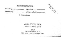
  10. Map - 2009.026c.0003

    Map - 1974 USGS 7.5-minute map - Angleton, Texas quadrangle

    Record Type: Archive

    2009.026c.0003  Title Block
  11. Map - 2011.001c.0007

    Map - City of Angleton Existing Land Use Plan 1991

    Record Type: Archive

    2011.001c.0007               Entire Map

Thank You!

Confirmation Message Here....