Search Term Record
Metadata
Name |
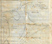
Bastrop Bayou |
Related Records
-
Booklet - 2011.011c.0016
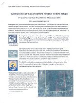
Building Trails at the San Bernard National Wildlife Refuge: A Project of the Texas Master Naturalist Cradle of Texas Chapter
Record Type: Archive
-
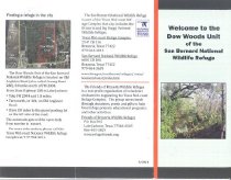
Handbill - 2011.011c.0011
Handbill flier for Dow Woods Unit of the San Bernard National Wildlife Refuge.
Record Type: Archive
-
-
-
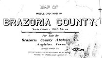
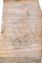
Map - 1988.070c.0013
Map (two maps on one sheet of paper) Suzzette, Texas (now Bastrop Beach)
Record Type: Archive
-
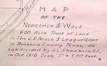
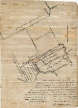
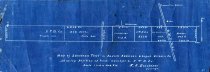
Map - 1988.070c.0025
Map - Newcomer & Wolf 600 acre tract of land in the J. E. Groce 5 league land
Record Type: Archive
-
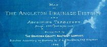
Map - 1988.070c.0053a, b
Map - Angleton Drainage District and Adjoining Territory. Letter - Recommendation of J. Lee Chambers d Letter of Recommendation
Record Type: Archive
-
Map - 1988.070c.0071
Map - J. W. Thier's tract of land in the Mattie Shappard et al surveys
Record Type: Archive
-
-
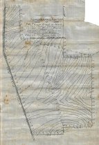
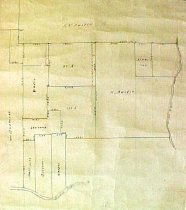
Map - 1988.070c.0105
Map - Sketch map and field notes for F.M.Harvin Tract 441.7-acre tract.
Record Type: Archive
-
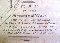
Map - 1988.070c.0106
Map - Newcomer & Wolf 600 acre tract of land in the J. E. Groce 5 league land
Record Type: Archive
-
-
-
-

-
-
-
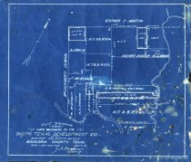
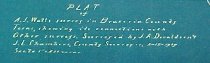
Map - 1988.070c.0182
Map - South Texas Development Co. Lands in Henry Austin 13 labors
Record Type: Archive
-
-