
Search Term Record
Metadata
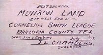
Name |
Bailey's Prairie |
Related Records
-
-
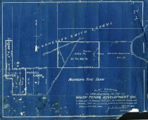
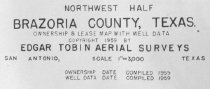
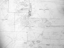
Map - 1988.070c.0152
Map - South Texas Development Company land in Carter League, Bailey League, and Russell Labor.
Record Type: Archive
-
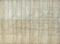
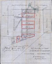
Map - 1988.070c.0172
Map - Subdivisions of James Bailey and Samuel Carter Leagues
Record Type: Archive
-
-
-
-
-
-
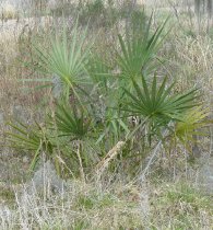
Photograph, digital - 2014.001p.0009
Brazoria Palm at Hudson Woods Unit of San Bernard National Wildlife Refuge The Hudson Woods Unit is located north of Sally Lake Road (formerly County Road 29) in City of Bailey's Prairie. Brazoria Palm is a species of Sabal palm indigenous to southern Brazoria County. For further information see 2014.001p.0008.
Record Type: Photo
-
Print, Photographic - 2002.014p.0001
Photo of Brit Bailey's Historical Marker -- one marker, photographed with a whiskey jug to one side -- located on Highway 35 west of Angleton, Texas
Record Type: Photo
