Search Term Record
Metadata
Name |
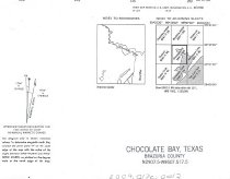
Oyster Lake |
Related Records
-
-
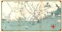
Map - 2009.013c.0013
Map - 1947 USGS 7.5-minute map - Christmas Point quadrangle
Record Type: Archive

-
-
-
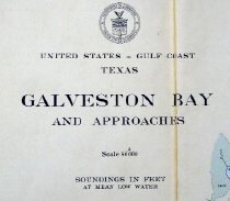
Map - 2010.019c.0003
Map - USCGS Nautical Chart 1282: Galveston Bay and Approaches (1948)
Record Type: Archive

-
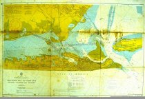
Map - 2010.019c.0004
Map - USCGS Nautical Chart 1282: Galveston Bay and Approaches (1957)
Record Type: Archive