
Search Term Record
Metadata
Name |
Flores Bayou |
Related Records
-
-

-
-

-
-
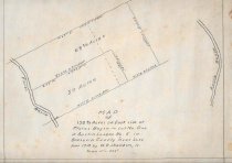
Map - 1988.070c.0105
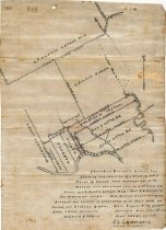
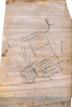
Map - Sketch map and field notes for F.M.Harvin Tract 441.7-acre tract.
Record Type: Archive
-
-
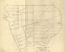
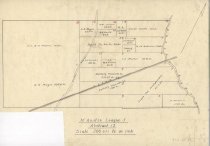
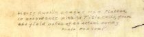
Map - 1988.070c.0134
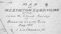
Map - W.C. Stockton Subdivision of the John W. Cloud Survey
Record Type: Archive
-
-
-
Map - 1988.070c.0159
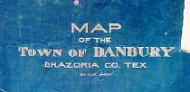
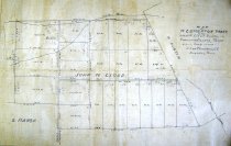
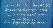
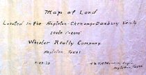
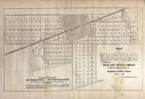
Map of Land Located in the Angleton-Chenango-Danbury Vicinity.
Record Type: Archive
-
Map - 1988.070c.0171
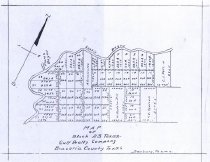
Map - Texas-Gulf Realty Company Lots 4, 5, and 6 including partial Danbury townsite
Record Type: Archive
-
Map - 1988.070c.0189
Map - Texas-Gulf Realty Company Lots 4, 5, and 6 including partial Danbury townsite
Record Type: Archive
-
-
-
-
-
-
Map - 1989.006c.0033
Maps - 1943 War Department 7.5-minute maps - Angleton and Rosharon quadrangles
Record Type: Archive
-
Map - 2009.024c.0013
Map - Danbury USGS quadrangle - Title Services Inc. Plat Map
Record Type: Archive
