Search Term Record
Metadata
Name |
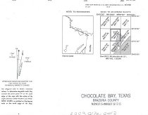
Chocolate Bay |
Related Records
-
-
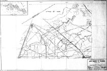
Map - 1988.070c.0050
Map - First and Second Sections of Texas Gulf Realty Company's Subdivision
Record Type: Archive

-
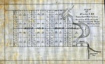
Map - 1988.070c.0059
Map - Blocks 8 & 9Texas Gulf Reaty Co.'s Orchard & Truck Lands
Record Type: Archive
-

-

-
-
Map - 2009.024c.0032
Map - Sea Isle USGS quadrangle - Title Services Inc. Plat Map
Record Type: Archive

-
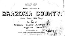
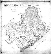
Map - 2010.014c.0001
Map - GLO 1947 of Brazoria County showing original grant boundaries
Record Type: Archive
-
-
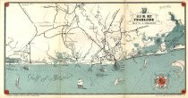
Map - 2010.019c.0003
Map - USCGS Nautical Chart 1282: Galveston Bay and Approaches (1948)
Record Type: Archive

-
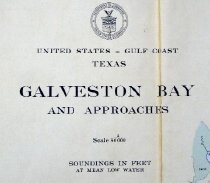
Map - 2010.019c.0004
Map - USCGS Nautical Chart 1282: Galveston Bay and Approaches (1957)
Record Type: Archive
-
Map - 2013.015c.0021
Map - Brazos River and Tributaries, Texas - Areas Subject to Flooding.
Record Type: Archive