Search Term Record
Metadata
Name |
USGS |
Related Records
-
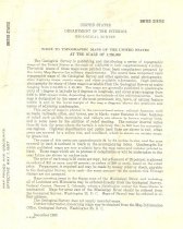
Map - 2008.023c.0002
Index to topographic maps of the United States at the Scale of 1:250,000
Record Type: Archive
-
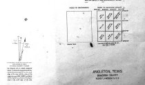
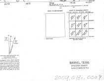
Map - 2009.013c.0002
Map - 1947 USGS 7.5-minute map - Angleton, Texas quadrangle
Record Type: Archive
-
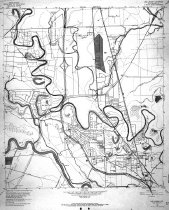
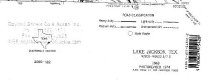
Map - 2009.013c.0004
Map - 1963 USGS 7.5-minute map - Lake Jackson, Texas quadrangle with proposed highways overwritten
Record Type: Archive
-
-
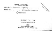
Map - 2009.026c.0003
Map - 1974 USGS 7.5-minute map - Angleton, Texas quadrangle
Record Type: Archive
-
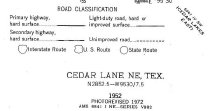
Map - 2009.026c.0010
Map - 1972 USGS 7.5-minute map - Cedar Lane NE, Texas quadrangle
Record Type: Archive
-
Map - 2009.026c.0017
Map - 1995 USGS 7.5-minute map - Friendswood, Texas quadrangle
Record Type: Archive

-
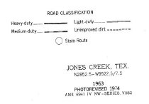
Map - 2009.026c.0021
Map - 1974 USGS 7.5-minute map - Jones Creek, Texas quadrangle
Record Type: Archive
-
Map - 2009.026c.0023
Map - 1974 USGS 7.5-minute map - Lake Jackson, Texas quadrangle
Record Type: Archive
-
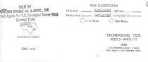
Map - 2009.026c.0034
Map - 1974 USGS 7.5-minute map - Thompsons, Texas quadrangle
Record Type: Archive
-
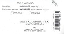
Map - 2009.026c.0035
Map - 1974 USGS 7.5-minute map - West Columbia, Texas quadrangle
Record Type: Archive
-
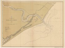
Map - 2010.017c.0003
Map - USCGS Nautical Chart 525 - Brazos River Entrance (1914)
Record Type: Archive