Search Term Record
Metadata
Name |
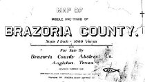
Middle Bayou |
Related Records
-
-

-
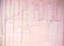
Map - 1988.070c.0080
Map. Proposed public road along east bank of Brazos River from East Columbia to Brazoria.
Record Type: Archive
-
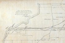
Map - 1988.070c.0090
Map - Proposed public road along the eastern bank of the Brazos River between East Columbia and Brazoria.
Record Type: Archive

-
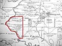
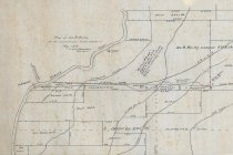
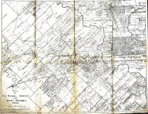
Map - 1988.070c.0101
Map - Property divisions in the Bailey, Smith, Carter, and Mitchell leagues.
Record Type: Archive
-
-

-
-

-
-
-
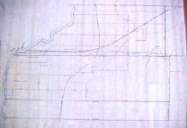
Map - 1988.070c.0172
Map - Subdivisions of James Bailey and Samuel Carter Leagues
Record Type: Archive

-
-
-
Map - 2009.024c.0015
Map - East Columbia USGS quadrangle - Title Services Inc. Plat Map
Record Type: Archive

-
-