Search Term Record
Metadata
Name |
Clear Creek |
Related Records
-
Map - 2009.013c.0005
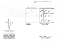
Map - 1944 USGS 7.5-minute map - Mykawa (now Pearland) Texas quadrangle
Record Type: Archive
-
Map - 2009.013c.0008
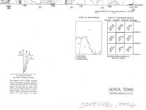
Map - 1947 USGS 7.5-minute map Genoa (now Friendswood), Texas quadrangle
Record Type: Archive
-
-
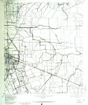
Map - 2009.013c.0014
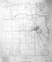
Map - 1969 USGS 7.5-minute map - Pearland Texas quadrangle
Record Type: Archive
-
Map - 2009.024c.0002
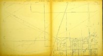
Map - Almeda USGS quadrangle - Title Services Inc. Plat Map
Record Type: Archive
-
Map - 2009.024c.0029
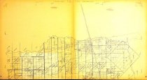
Map - Pearland USGS quadrangle - Title Services Inc. Plat Map
Record Type: Archive
-
Map - 2010.001c.0005
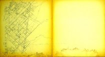
Map - Austin colonies showing communities with interconnecting roads and trails.
Record Type: Archive

-
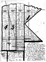
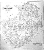
Map - 2010.014c.0001
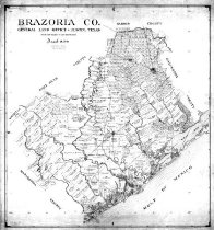
Map - GLO 1947 of Brazoria County showing original grant boundaries
Record Type: Archive
-
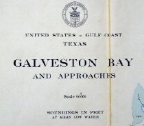
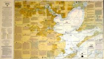
Map - 2010.019c.0003
Map - USCGS Nautical Chart 1282: Galveston Bay and Approaches (1948)
Record Type: Archive

-
Map - 2010.019c.0004
Map - USCGS Nautical Chart 1282: Galveston Bay and Approaches (1957)
Record Type: Archive
-
-
-
-
Map - 2014.013c.0003
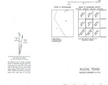
Map - Algoa USGS 7.5-minute quad map overwritten with Alvin bypass ROW
Record Type: Archive
-
MAP - 2009.024c.0017
Map - Friendswood USGS quadrangle - Title Services Inc. Plat Map
Record Type: Archive