Search Term Record
Metadata
Name |
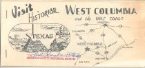
Bell's Landing |
Related Records
-
-
-
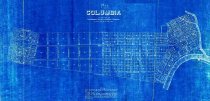
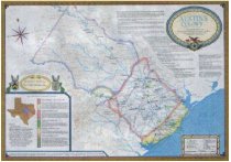
Map - 2010.001c.0005
Map - Austin colonies showing communities with interconnecting roads and trails.
Record Type: Archive

-
-
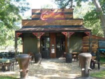
Photograph, digital - 2013.030p.0001
Group of photos of Belle's Landing Building and local historians before and after boarding the Brazos Belle Belle's Landing (restaurant, bar, and waiting area for Brazos Belle passengers located south of SH35 at the Brazos River Bridge, East Columbia)
Record Type: Photo
-
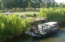
Photograph, digital - 2013.031p.0001
History trip on the Brazos Belle Group of photos documenting a visit to the Brazos Belle by representatives from museums in Brazoria County. Speakers included: - Michael Leebron, co-owner and Captain of the Brazos Belle - Michael Bailey, Curator for Brazoria County Historical Museum - Phil Huxford, representing Friends of Brazoria Wildlife Refuges
Record Type: Photo