
Person Record
Metadata
Name |
Russell, Hiram H. |
Related Records
-
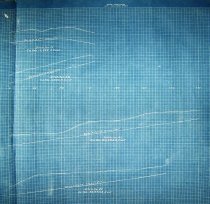
Map - 1988.070c.0021a, b, c
Map and profile drawings of drainage ditches in Drainage District No. 8.
Record Type: Archive
-
Map - 1988.070c.0050
Map - First and Second Sections of Texas Gulf Realty Company's Subdivision
Record Type: Archive

-
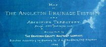
Map - 1988.070c.0053a, b
Map - Angleton Drainage District and Adjoining Territory. Letter - Recommendation of J. Lee Chambers d Letter of Recommendation
Record Type: Archive
-
-

-
-
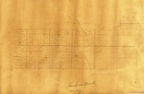
Map - 1988.070c.0179
Map - Hoskins Mound Territory (Subdivisions in South half of Hiram H. Russell Survey)
Record Type: Archive
-
-
Map - 2009.024c.0013
Map - Danbury USGS quadrangle - Title Services Inc. Plat Map
Record Type: Archive