Search Term Record
Metadata
Name |
Texas Department of Criminal Justice |
Related Records
-
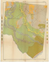
Map - 1994.017c.0001
Plat map - Clemens State Farm - out of the Austin 7.33, Collins, and McNeel Leagues
Record Type: Archive

-
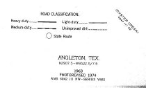
Map - 2009.026c.0003
Map - 1974 USGS 7.5-minute map - Angleton, Texas quadrangle
Record Type: Archive
-
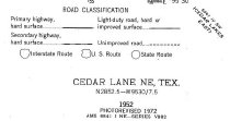
Map - 2009.026c.0010
Map - 1972 USGS 7.5-minute map - Cedar Lane NE, Texas quadrangle
Record Type: Archive
-
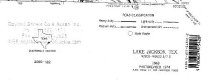
Map - 2009.026c.0023
Map - 1974 USGS 7.5-minute map - Lake Jackson, Texas quadrangle
Record Type: Archive
-
-
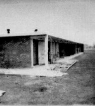
Print, Photographic - 2004.008p.0018
Segregation Building where prisoners were placed if they gave trouble.
Record Type: Photo