Person Record
Metadata
Name |
Roberts, Noel Francis |
Related Records
-
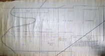
Map - 1988.070c.0045
Map - East line of the C. Smith league as fixed by Court of Civil Appeals
Record Type: Archive
-
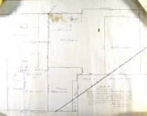
Map - 1988.070c.0046
Map - Cornelius Smith League & adjoining surveys as located by the Courts
Record Type: Archive
-
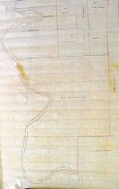
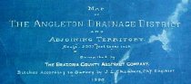
Map - 1988.070c.0053a, b
Map - Angleton Drainage District and Adjoining Territory. Letter - Recommendation of J. Lee Chambers d Letter of Recommendation
Record Type: Archive
-
Map - 1988.070c.0057
Map - Area along "Columbia Road" (now SH35) between Angleton and Bailey's Prairie.
Record Type: Archive
-
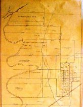
Map - 1988.070c.0067
Map - Subdivision of lands on the east side of Oyster Creek northwest of Angleton.
Record Type: Archive