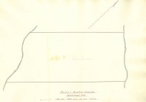
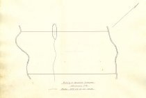
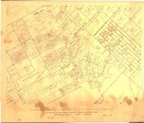
Person Record
Metadata
Name |
Perry |
Related Records
-
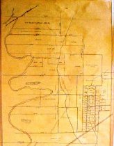
Map - 1988.070c.0057
Map - Area along "Columbia Road" (now SH35) between Angleton and Bailey's Prairie.
Record Type: Archive
-
-
-
-
-

-
-
-
-
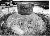
Print, Photographic - 2003.005p.0013
Brick cistern on Perry's land -- pipe-hauling truck in background.
Record Type: Photo