Person Record
Metadata
Name |
Masterson, Branch T. |
Related Records
-

-
-
-
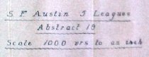
Map - 1988.070c.0038
Map (two maps on one sheet) - H. Munson Tract and environs
Record Type: Archive
-
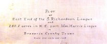
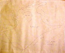
Map - 1988.070c.0048
Map - Plot of East end of the Stephen Richardson league and 282.2 acres in N.E. part of Wm Harris league
Record Type: Archive
-
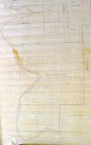
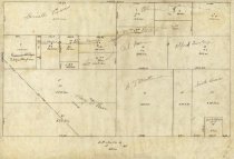
Map - 1988.070c.0067
Map - Subdivision of lands on the east side of Oyster Creek northwest of Angleton.
Record Type: Archive
-
-
-
-
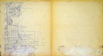
Map - 2009.024c.0001
Map - Algoa USGS quadrangle - Title Services Inc. Plat Map
Record Type: Archive
-
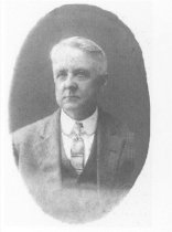
Print, Photographic - 2004.036p.0007
Branch T. Masterson, taken about 1912. Mr. Masterson is wearing a suit, vest, white shirt and striped tie.
Record Type: Photo
-
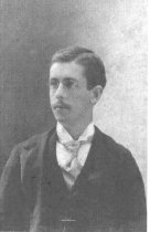
Print, Photographic - 2004.036p.0008
Photo of Branch T. Masterson as a young man. He is wearing wire-rim glasses, a dark coat, white shirt and tie, and he has a mustache.
Record Type: Photo