
Person Record
Metadata
Name |
Marsh, Shubal |
Related Records
-
-
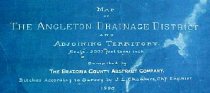
Map - 1988.070c.0053a, b
Map - Angleton Drainage District and Adjoining Territory. Letter - Recommendation of J. Lee Chambers d Letter of Recommendation
Record Type: Archive
-
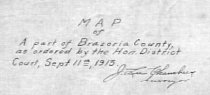
Map - 1988.070c.0077
Map - Part of Brazoria County as ordered by the Hon. District Court
Record Type: Archive
-
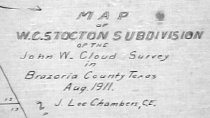
Map - 1988.070c.0134
Map - W.C. Stockton Subdivision of the John W. Cloud Survey
Record Type: Archive
-

-

-
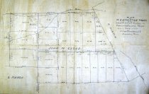
Map - 2009.024c.0003
Map - Angleton USGS quadrangle - Title Services Inc. Plat Map
Record Type: Archive
-
Map - 2009.024c.0015
Map - East Columbia USGS quadrangle - Title Services Inc. Plat Map
Record Type: Archive