Person Record
Metadata
Name |
Jamison, S.J. |
Related Records
-
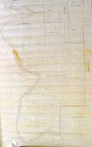
Map - 1988.070c.0057
Map - Area along "Columbia Road" (now SH35) between Angleton and Bailey's Prairie.
Record Type: Archive
-
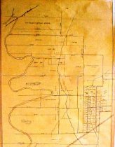
Map - 1988.070c.0067
Map - Subdivision of lands on the east side of Oyster Creek northwest of Angleton.
Record Type: Archive