Skip to content

Search Term Record

Metadata

Related Records

  1. Map - 1988.070c.0120

    Map - Bruner, Hayes, and Shapard properties

    Record Type: Archive

    1988.070c.0120  Title Block
  2. Map - 1988.070c.0143

    Map - Plat of The Estate of Godfrey Moller

    Record Type: Archive

    1988.070c.0143  Map
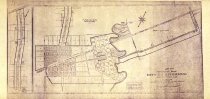
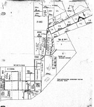
  3. Map - 1988.070c.0171

    Map - Texas-Gulf Realty Company Lots 4, 5, and 6 including partial Danbury townsite

    Record Type: Archive

    1988.070c.0171  Entire Map
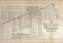
  4. Map - 1988.070c.0189

    Map - Texas-Gulf Realty Company Lots 4, 5, and 6 including partial Danbury townsite

    Record Type: Archive

    1988.070c.0189  Title Block
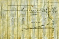
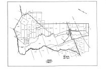
  5. Map - 2008.050c.0001

    Maps - Hand sketches of land use at Texas A&M University Agriculture Station #3

    Record Type: Archive

    2008.050c.0001 (a)
  6. Map - 2014.010c.0001

    Map - City of Liverpool ETJ map

    Record Type: Archive

    2024.101c.001  Entire Map
  7. Map - 2014.010c.0002

    Map - City of Liverpool plat map - 1977

    Record Type: Archive

    2014.010c.0002  Entire Map

Thank You!

Confirmation Message Here....