Person Record
Metadata
Name |
Hall, C.J. |
Related Records
-
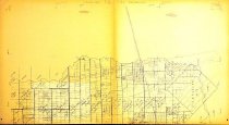
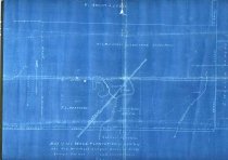
Map - 1988.070c.0045
Map - East line of the C. Smith league as fixed by Court of Civil Appeals
Record Type: Archive
-
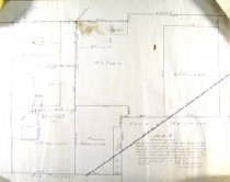
Map - 1988.070c.0046
Map - Cornelius Smith League & adjoining surveys as located by the Courts
Record Type: Archive
-
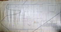
Map - 1988.070c.0067
Map - Subdivision of lands on the east side of Oyster Creek northwest of Angleton.
Record Type: Archive
-
-

-
-
-
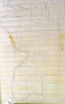
Map - 2009.024c.0029
Map - Pearland USGS quadrangle - Title Services Inc. Plat Map
Record Type: Archive